
Trails
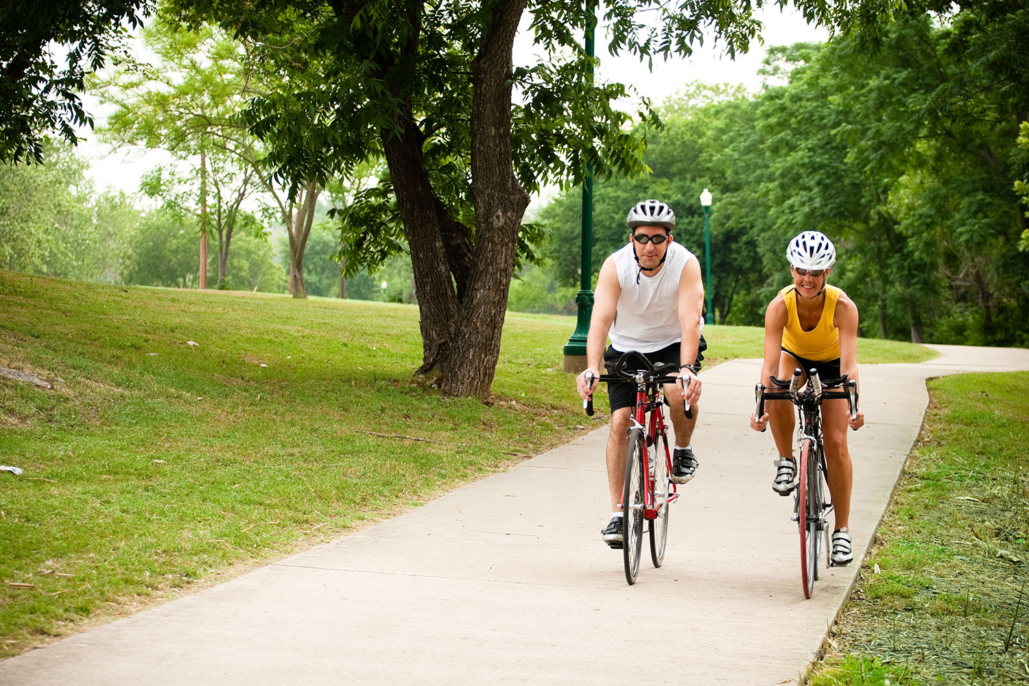
Enjoy the outdoors! Whether you like to walk, run, hike, bike, or ride your horse, we have the trail for you. With more than 12 miles of trails throughout the community, and an additional seven miles of shared-use and equestrian trails at Garey Park, you can find trails that are natural, crushed granite or paved.
Trail Hours
5 a.m.-10 p.m.
If you have any questions about the trails, please contact 512-930-3595.
San Gabriel Park Loop
Distance: 1.9 miles
This granite trail loops through San Gabriel Park, with access to the north and south trails.
San Gabriel River Trail
Distance: 0.45 miles
This concrete trail follows the San Gabriel River from San Gabriel Park to the Katy Crossing neighborhood.
South San Gabriel River Trail
Distance: 4.15 miles
This concrete trail follows the South San Gabriel River from the McMaster Athletic Complex to Blue Hole Park, then along Scenic Drive through Chautauqua Park, ending at 17th St.
The Winfred H. Bonner Trail is a lighted one-mile section from the McMaster Athletic Complex to Blue Hole Park.
A newly constructed portion of the trail runs from University Ave. out to Wolf Ranch Crossing.
Pickett Trail
Distance: 0.5 miles
Pickett Trail is a rustic, natural trail that follows the cliffs along the scenic South San Gabriel River connecting Blue Hole Park and Chautauqua Park.
Pickett Trail was built in the 1970s and historians say it was named after Bill Pickett, a famous rodeo cowboy. Pickett Trail is a natural trail with sections being of hard rock surface. Steps and stairs provide access along the trail. The width of the trail varies from 4-6 feet. Pickett Trail goes through rock formations and outcroppings that are hard to find and unique to the area.
The trail connects to the existing San Gabriel River Trails which is fully accessible and 8.2 miles. Pickett Trail is a natural progression down the South San Gabriel River. This trail provides for a more challenging hike than our other trail systems and is not ADA accessible. This newly restored trail has been made usable and safe for the citizens without damaging the natural beauty of the river corridor.
Randy Morrow Trail
Distance: 5.35 miles
The Randy Morrow Trail starts at San Gabriel Park and connects several City parks before ending in Booty’s Road Park. From there, you can continue on to the Lake Georgetown trails.
The section of the trail from San Gabriel Park through Rivery Park and ending at Chandler Park is lighted.
The City of Georgetown’s San Gabriel River Trail was designated a National Recreation Trail by the U.S. Department of the Interior in 2006.
Georgetown Trails Foundation Trails
The Georgetown Trails Foundation has constructed natural surface, multiuse trails great for mountain biking, and open to all.
View the Georgetown Trails Foundation Interactive Map
Remember, the trails are a shared public space – safety and courtesy make for a positive trail experience for everyone. Please respect your fellow trail users.
Trail Etiquette
- Be friendly and courteous.
- Respect other users, expect other users.
- Share the trail. Ride, walk, or run on the right, pass on the left.
- Bicyclists yield to runners and hikers. Keep your bike under control and at a safe speed, and ride within your ability at all times.
- Warn people when you are planning to pass by announcing “passing on the left” or ringing a bicycle bell.
- Anticipate other trail users around corners and blind spots.
- Downhill traffic should yield to uphill traffic. When in doubt, give the other user the right of way.
- Keep dogs on a short leash, close and under your control.
- Watch children carefully – don’t allow young children on trails without supervision.
- Stay on the trail. Creating your own trail or cutting switchbacks creates erosion, damages habitat and causes new trails which cannot be maintained.
- Respect wildlife.
- Leave no trace. Pack out your litter.
Trail Safety
- Be aware of your surroundings. All trail markers have been assigned addresses and are in the public safety database to help dispatch identify your location if you call 9-1-1.
- Don’t use trails after dark. Lighted trail hours are 5 a.m.-10 p.m. and unlit trails are open from dawn to dusk.
- Know your route. Familiarize yourself with the trails by viewing the interactive or printable map.
- Use the buddy system.
- Bring a fully charged phone and identification.
- If using headphones, wear in one ear only so you can remain aware of the sounds around you.
- Bring plenty of water and sunscreen.
Garey Park Trails
Garey Park has more than seven miles of trails spanning the entire park, giving hikers and horseback riders an opportunity to explore the park’s beautiful natural areas.
The shared-use trail is 4.68 miles. The trail is made of crushed white limestone and is 10 feet wide and can accommodate both hikers and horseback riders alike. In addition, there are 2.6 miles of pedestrian-only trails, which are made up of red crushed granite.
Bikes are not allowed on the trails but are welcome on paved roadways.